Rezoning Filed for 466 W. Cermak and S. Canal Parcels
Application 23180 seeks a map change at 466 W. Cermak Rd. and 2106-2124 S. Canal St. It is in the Zoning Committee.
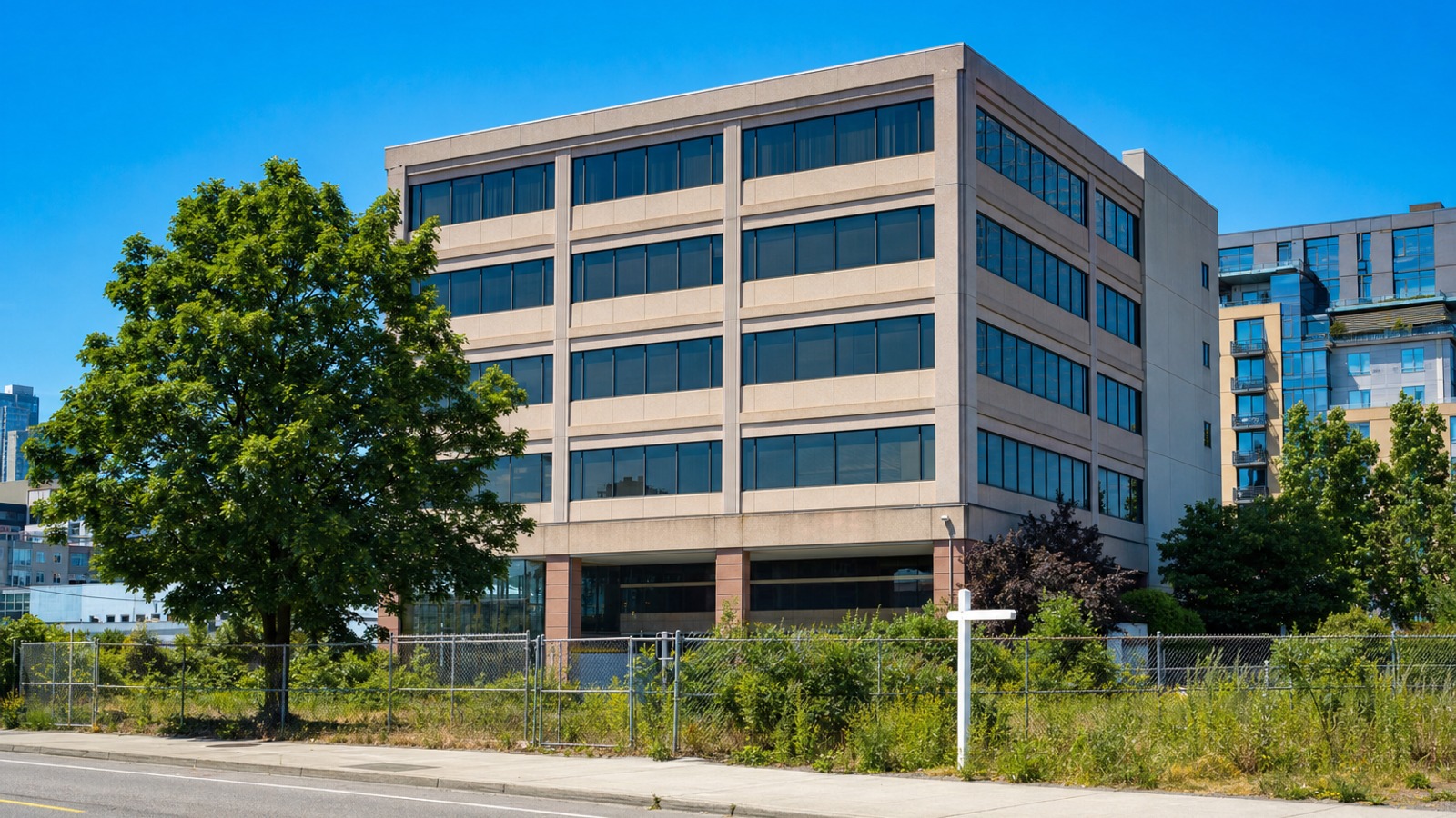
- Source Briefing
- Public record
A zoning map change for property at 466 W. Cermak Rd. and 2106-2124 S. Canal St. is pending at City Hall, according to a City Clerk record. The ordinance, O2026-0029359, was referred to committee on Oct. 14 and is a proposal, not an approved rezoning.
Why it matters
The site sits where the Near South Side meets Chinatown’s edge along Cermak, an area watched for redevelopment because of its transit access and proximity to the riverfront. A reclassification on Map No. 4-F is the first public step toward a different use or density, and the filing includes an economic disclosure statement, which identifies the applicant’s interested parties.
The news that moved today. Free email. Every weekday morning.
The numbers
The record is routine in the Clerk’s classification, filed under the Misc. Transmittal sponsor, application number 23180. It carries the ordinance, a statements-and-plans exhibit, the application and the disclosure statement. The Clerk summary does not give the current or requested zoning district, a unit count or a project cost, and the attachments are scanned documents we have not transcribed, so we report none of those.
What’s next
The Zoning Committee must hear the item before a Council vote. The statements and plans exhibit should show the intended use once the committee posts its agenda. Related land-use items are collected on the Chicago market page, and the Halsted Waterway planned development is a nearby example of a proposal moving through review.
Quick answers
- What is the latest on City of Chicago in Chicago?
- Application 23180 seeks a map change at 466 W. Cermak Rd. and 2106-2124 S. Canal St. It is in the Zoning Committee.
- What are the key numbers for City of Chicago?
- application no.: 23180; zoning map: Map 4-F; referred: Oct. 14.
- Where does the information on City of Chicago come from?
- The story cites Chicago City Clerk eLMS.
On the record
Clerk record O2026-0029359, introduced Oct. 14, 2026 and referred to the Committee on Zoning, Landmarks and Building Standards, is Zoning Reclassification Map No. 4-F at 466 W. Cermak Rd. and 2106-2124 S. Canal St., application 23180; attachments include an application, statements and plans, and an economic disclosure statement.
Public record · chicityclerkelms.chicago.gov